Back جزيرة روتي Arabic Nusa Roté BAN Роты Byelorussian Roti Catalan Pulau Roti (pulo sa Provinsi Nusa Tenggara Timur) CEB Roti Czech Rote Island English Isla de Roti Spanish Roti Basque Rote Finnish
| Roti | |
|---|---|
 | |
| Gewässer | Timorsee, Sawusee |
| Inselgruppe | Timorarchipel |
| Geographische Lage | 10° 28′ S, 123° 23′ O |
 | |
| Fläche | 1214 km² |
| Höchste Erhebung | 444 m |
| Hauptort | Ba'a |
 | |
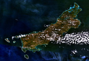
Roti (auch Rote, Bahasa Indonesia Pulau Roti) ist eine indonesische Insel vor der Westspitze Timors.
© MMXXIII Rich X Search. We shall prevail. All rights reserved. Rich X Search